BIM model of the master plan: advantages and opportunities
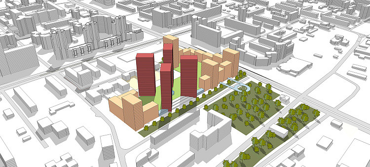
The master plan plays one of the key roles in the design of a facility. Important components of this section are the organisation of the territory relief, landscaping, planting, road infrastructure and much more. These elements determine the basis of the project and its functionality.
With the help of BIM-model of the master plan it is possible to foresee possible problems at the design stage, rationally use resources and make necessary changes to the project in a timely manner. This allows to simplify the whole cycle of work - from the beginning of modelling to the completion of construction and operation of the facility.

With 3D ground surface modelling, it is difficult to visualise the pavement structure and all the soil beneath it. Without separate layers of earth, the process of calculating volumes takes a lot of time, not counting the detailed drawing of nodes for the installation of disputed sections.
However, we have found a way to simplify the modelling and calculation of ground volumes through automation. The Ground Analyzer plugin creates solids (3D bodies) of pavements based on the designed surface according to the specified contours. Using polylines representing the pavement contours, it generates volumetric surfaces, categorising them. The plug-in also provides calculation of the total volume of excavation and embankment, outputting a report in Excel table format and fills in many tables according to GOST (State Standardised Technical Specifications), which are necessary for issuing the GP section. These tables need to be created once and can then simply be updated based on the model.


One of the time-consuming processes in the development of a traffic BIM model is the creation of road markings. How to quickly model these elements, while conveying their exact spatial position and the main volumes of materials used in their creation?
ENECA programmers have solved this problem. The Markup Solid plug-in automates the creation of road markings in the model and associated material specifications. The solution allows you to extrude 3D bodies with detailed information content from an existing surface in a matter of minutes.
There are three ways to create road markings: choose a standard one from the list according to GOST R 51256 - 2018 ‘Road markings. Classification. Technical requirements’, select a 2D block from the drawing, or create a unique one by specifying its stroke length, line width, break length and a separate layer, after which the corresponding specification will be filled in, which can then simply be updated without creating a new table.


To optimise the design process in terms of traffic management, our team has developed a library of road signs with more than 200 different variants (the library is constantly being replenished) based on 2D blocks and full 3D bodies, which can be further used in the design of drawings and then uploaded into a summary model.


In addition, using designs in Civil 3D, our specialists model drainage channels and curbs, visualizing their exact dimensions and filling them with information parameters.

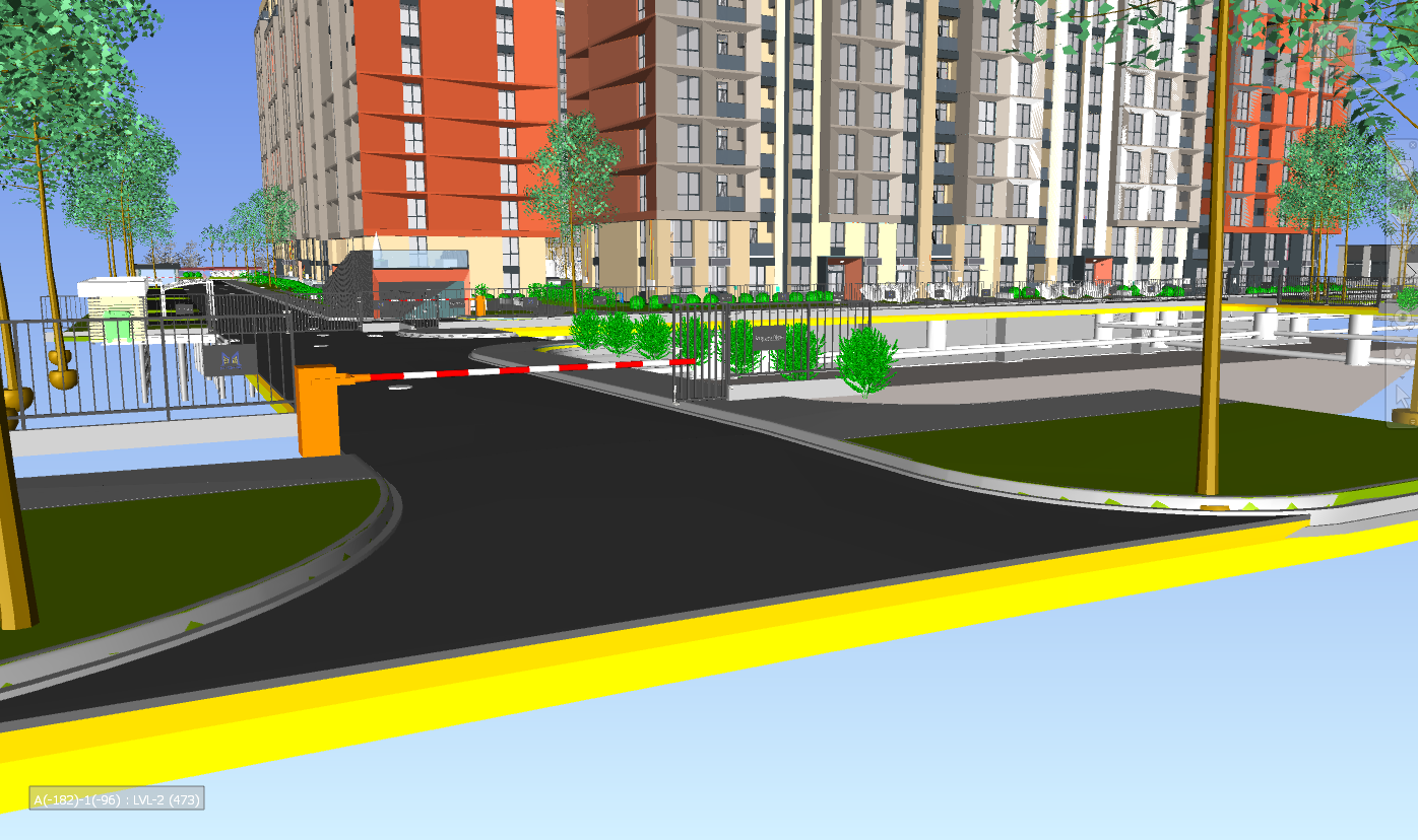
A detailed information model of the Master Plan allows you to accurately determine the location and dimensions (with an accuracy of 1 mm) of each element, extract the necessary volumes and information from 3D models, visualizing the designed site.
This helps reduce the time for estimating and calculating construction deadlines, while avoiding critical errors and discrepancies during installation and acceptance of the facility.


